Last updated: October 2026
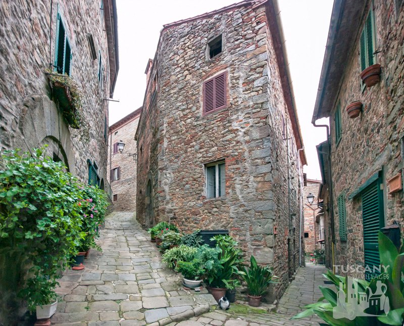
Long before there were roads up here, the ten villages of the Svizzera Pesciatina were joined by mule tracks. Stone paths through the chestnut woods, over little bridges, past mills and shrines, from one village to the next. People walked them to market in Pescia, to Mass and to their fields.
Many of those paths are still there. The Pescia branch of the CAI (Club Alpino Italiano, the Italian Alpine Club) looks after them, numbers them and marks them with red and white stripes on trees and rocks.
If you like walking, this is one of the best ways to see the Dieci Castella. Slowly, quietly, and arriving in each village the way people always did.
Before you go: check the path is open
This is important. Paths here get blocked by landslides, fallen trees and forestry work, and bridges get washed away. CAI Pescia publishes a list of closed sections on its website, caipescia.it, under Sentieri. When I checked in October 2026, these were closed:
- Path 250 between Passo del Morticino and Ponte di Castruccio (forestry work).
- Path 252 beyond Sorana towards Castelvecchio.
- Path 252B, Castelvecchio to Pontito, along the old mills (an unsafe bridge).
- Path 259.
Check again before you set off. Things change.
The paths
Here are the main CAI paths in the Svizzera Pesciatina and the villages they link. Numbers are as marked on the ground.
| Path | Route |
|---|---|
| 250 | Pescia, Bareglia, Santa Margherita, Medicina, Fibbialla, San Quirico, Madonna del Tamburino, Croce a Veglia |
| 251 | Pescia to Collodi, the “Via della Fiaba” |
| 252C | Ponte di Castelvecchio up to Castelvecchio |
| 254 | Ponte di Sorana, Sorana, Casa Rozza, Sasso alla Matola, Ponte di Tito, Pontito |
| 254A | Sorana, Montaione, Lignana, Le Serrine, Pontito, Croce a Veglia |
| 255 | Pietrabuona (Piazza della Croce), Medicina, Sant’Anna |
| 255B | Fibbialla to Molin Galluzzi |
| 257 | Calamari, Vellano, Poggio alla Forca, Macchino |
| 257A | Vellano, Cava Regoleta, Macchino |
| 261 | Foce del Sargentino, Stiappa, Mulino di Stiappa |
| 263 | San Quirico to Mulino del Monti |
| 263A | San Quirico, Colle Pinci, Croce d’Aramo, Aramo |
Path 250: the long one
Path 250 is the backbone. It climbs out of Pescia and strings together Medicina, Fibbialla and San Quirico on its way up to the ridge at Croce a Veglia. You don’t have to do it all. A section between two villages makes a lovely half day. Remember part of it is closed at the moment (see above).
Pietrabuona to Medicina (255)
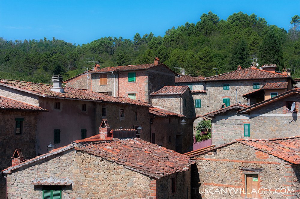
Path 255 starts in the little square of Piazza della Croce in Pietrabuona, the first of the castles as you come up from Pescia, and climbs to Medicina. A good one to start with.
Sorana to Pontito (254 and 254A)
Two ways from Sorana, home of the famous Sorana beans, to Pontito, the village that fans out down its hillside. Path 254 goes via Ponte di Tito. Path 254A goes the high way, past Lignana, the lost eleventh castle. More on that in my post about Lignana.
San Quirico to Aramo (263A)
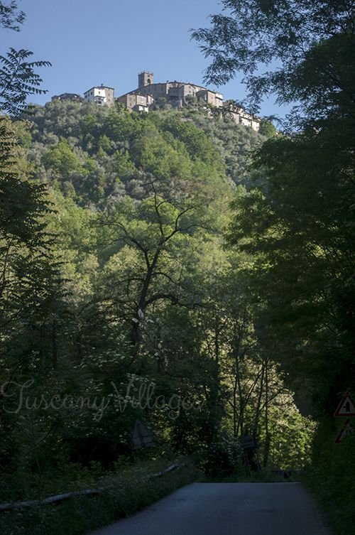
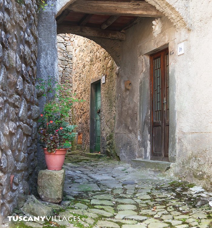
From San Quirico, path 263A climbs over Colle Pinci and the Croce d’Aramo and drops into Aramo. Path 263 goes down from San Quirico to an old mill, the Mulino del Monti.
Around Vellano (257 and 257A)
Vellano, the biggest of the castles, sits on two paths heading up to Macchino, one via Poggio alla Forca and one via Cava Regoleta, an old quarry.
Down to Collodi (251)
An easy one for families: path 251, the “Via della Fiaba” (the fairy tale way), from Pescia to Collodi, home of Pinocchio. See my post on Tuscany with kids.
Maps
- CAI Pescia has a 1:25,000 walking map of the area, new in January 2025.
- The Comune di Pescia website has walking itineraries with maps.
- A phone app with offline maps is a good backup. The signal comes and goes up here.
Staying safe
- Tell someone where you’re going and when you’ll be back.
- Proper shoes. The old paths are stone, and stone plus wet leaves is slippery.
- Take water and food. There isn’t a shop in every village, and the bar may be shut.
- Watch the weather. Storms build quickly in summer, and it gets dark early in winter.
- Hunting season. In autumn and winter you may hear hunters in the woods, especially at weekends. Wear something bright and stick to the path.
- Keep dogs close. There are wild boar, and hunting dogs.
- In an emergency, call 112. More in my useful numbers post.
When to walk
Spring and autumn are perfect: wild flowers in May, chestnuts and colours in October. Summer can be hot, though the woods are shady. Winter can be glorious on a clear day, but short. My best time to visit guide has more.
Then reward yourself with lunch in the village at the end. That’s the rule.
You might also enjoy:
- Where to stay near Lucca in the Svizzera Pesciatina
- A wander around Fibbialla
- Chestnut season in Tuscany
- Pescia
Susan